SIOUX FALLS, S.D. (KELO.com) — With dry ground, unseasonable temperatures, and wind whipping around, most of the area is under a Red Flag Warning.
That means wildland fire danger is high.
One of the tools that local emergency managers and others use to keep an eye on conditions–and possible fires–comes from NASA satellites.
They provide updated information about every three hours through their remote sensing equipment.
NASA warns, however, that there can be anomalies in the satellite photos caused by industry, agriculture, a localized burn, or weather.
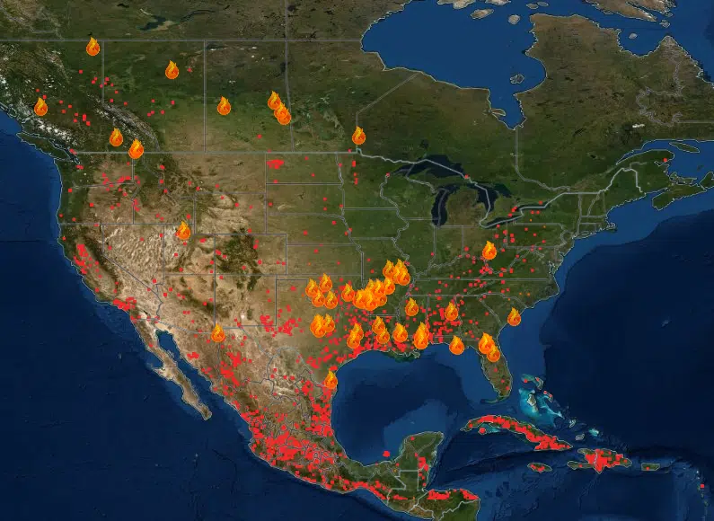
The map at right shows much of North America, including known fires and possible hotspots Friday.
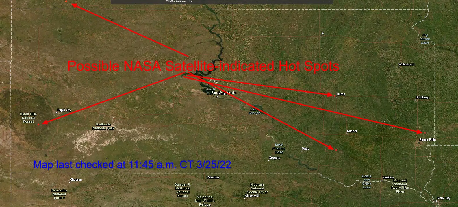
The map below shows satellite indicated hotspots in South Dakota and southern North Dakota Friday.
Click here to read more about the satellite systems and how they work from NASA.
NASA Fire Spotting Satellite Map


